Along the water
Mine drainage and runoff can carry metals into streams and river sediments.
For the places we share
Let’s read it together.
CONTAMINE is an environmental information platform in development, starting in Maramureș, Romania. Satellite observation is at its heart, with local knowledge alongside it: a clearer view of places where mining has ended, but its effects remain.
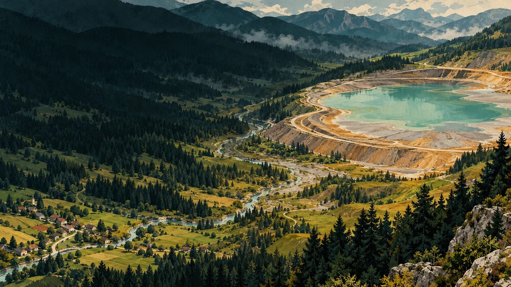
Illustrated landscape · not a monitored location
Explore the ideaWhy we started
Centuries of work shaped these landscapes.
What happens to them now belongs to all of us.
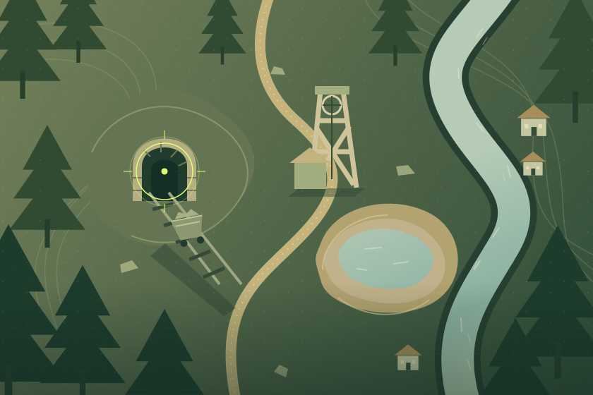
Baia Mare — Nagybánya in Hungarian — grew around metal mining, processing and minting in the historical county of Szatmár. Historical Máramaros was a different county, with its own mining story, especially the salt mines and salt trade.
The Baia Mare cyanide spill in 2000 made the lasting effects of mining impossible to overlook. This history, and the places people still live with, is why we started CONTAMINE.
Read the historyThese places had connections, but their histories are not interchangeable. The political changes of 1918 did not create today’s county overnight. Socialist industrial expansion and the administrative changes of 1950–1968 brought Baia Mare and the wider region into the framework we know today.
The revolution was followed by restructuring, changing ownership and closures over the following decades. Mining did not end in a single moment.
The Baia Mare cyanide spill carried pollution through the river system and far downstream — a reminder that a site’s effects can reach well beyond its boundary.
REMIN’s withdrawal of funding for 20 mines marked a major turning point. The jobs and production declined; the waste deposits and mine water remained.
Closed galleries, tailings and former processing sites still need attention, alongside the communities, rivers and land around them.
The legacy is still here
In 2025, Romania’s Environment Ministry described risks to thousands of residents around the Tăuții de Sus tailings site.
The source and what this figure meansMine drainage and runoff can carry metals into streams and river sediments.
Exposed fine tailings can be lifted by wind and carried towards nearby settlements.
Contaminated soils and deposits can remain long after extraction and processing stop.
Studies document different conditions across Baia Mare, Ilba, Cavnic and Băiuț. The scale and pathways vary by place. Explore the evidence.

This is where CONTAMINE comes in
A platform to follow mining landscapes, understand changes and keep the information within reach.
We’re developing CONTAMINE around satellite observation: maps and histories that help people see how selected mining-waste sites change over time. Community observations and available research add the local and technical context.
The goal is simple: make it easier for residents, community groups, researchers and authorities to see what is documented, ask useful questions and identify places for closer attention.
Environmental information
should be within everyone’s reach.
Free access and use are central to the project, with an interface planned in Romanian and English. Cost or specialist software should not stand between people and information about their surroundings.
The view from above
Satellite observation is a main component of CONTAMINE. Repeated images turn isolated views into a history of change.
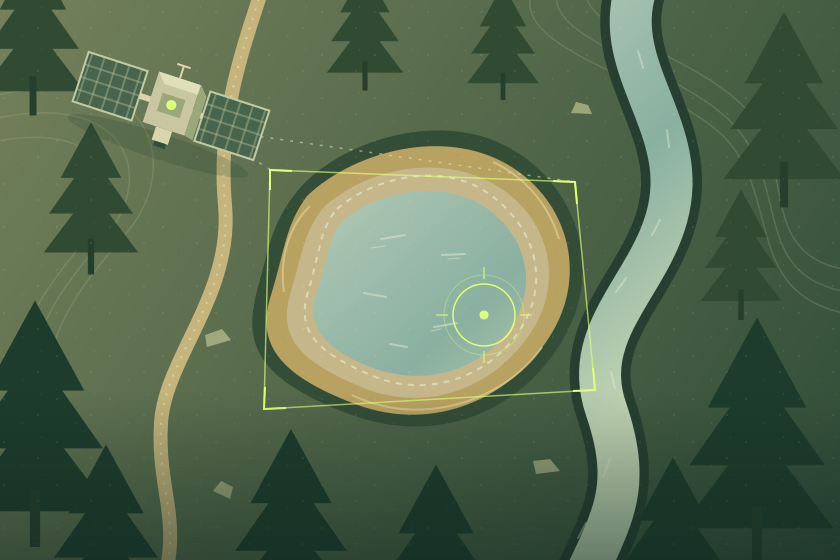
Copernicus Sentinel-2 + Sentinel-1
Our first satellite work studies water coverage at the Bozânta Mare and Aurul tailings ponds. These deposits are connected to the Baia Mare ore-processing industry. Tailings are the finely ground waste left after valuable minerals are separated from ore.
Water cover matters because exposed tailings can become a source of wind-blown dust. Comparing images helps us identify changes in the water surface and places that deserve closer inspection.
Explore the methodsWe have processed Sentinel-2 images, explored water-mapping thresholds, extracted water boundaries and calculated water area for August observations across 2015–2026 at both ponds. The outlines have been checked against their source images. Initial Sentinel-1 radar data have also been processed to explore a complementary view.
The planned service will build monthly water histories, regularly check for suitable new imagery, and connect maps, charts and downloadable records to their sources. Sentinel-1 radar is being evaluated for water mapping when cloud obscures optical images.
Water coverage tells us about the visible surface. Water quality and the presence of particular pollutants need measurements and appropriate interpretation.
Two satellite sites. Community observations across all of Maramureș.
The view from the ground
Community observations across all of Maramureș add local detail to the satellite record — from familiar streams and paths to changes an image may miss.
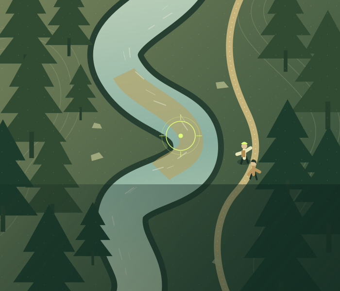
“The water looks different
from last week.”
An illustrative observation — and the start of a question.
The planned reporting journey
A place, a date and a description give an observation a useful beginning. Open a step to see how it could become part of the shared record.
Record what you noticed, where and when. A photograph can add useful context. Observations suitable for publication can appear on the map with a date and a clear source label, while reporter contact details stay off the public record.
An observation can be viewed alongside earlier reports, site information, satellite observations and available measurements. Keeping these sources distinct helps people see what is documented and what remains uncertain.
Where a referral is made, the record can show which organisation received it and when. Replies or findings can be added with their source and date. Whether a recipient investigates depends on its remit, assessment and resources.
Community observations are starting points for understanding a place. Publication or referral does not itself confirm pollution. How observations work
The planned platform will bring these observations into a shared, source-labelled record. For now, you can explore the approach or contact us about the project.
You shouldn’t need specialist software to follow changes near your home. Residents and hikers know the paths and streams; researchers and environmental teams bring measurements and technical context. The planned platform gives these different sources a place together, while making clear where each piece of information comes from.
Our project journey
Initial field and computer exploration have shaped the idea. Satellite workflows now provide a foundation for the platform design and the next steps below.
Mining-landscape focus and community use cases defined, informed by initial field and computer exploration.
Sentinel-2 water outlines and area calculations at both ponds, checked against source images, plus initial Sentinel-1 processing.
Designing how satellite histories, maps, source records and community observations will work together.
Automate imagery searches and processing, build monthly histories, assess measurement quality and evaluate complementary radar use.
Two rounds of practical testing with intended users, followed by improvements to clarity, usability and reporting flows.
Bring the connected service to people through Romanian and English maps, charts and reporting, with free access as the goal.
Maintain information and documented updates, plan sustainable operation and explore adapting the approach to other mining regions.
Behind the name
Better understanding starts
with a shared view.
Our name brings together the environmental questions and the places at the heart of the project. Our approach brings together the people who care about them.
CONTAMINE is an initiative by THE GLO DIS, based in Baia Mare, Romania, working across software, geographic information, and environmental research.
Meet THE GLO DISGet in touch
Questions about the project, local perspectives, and ideas for working together are welcome.